


Author: Zygmunt Światopełk Słupski
Year: 1910
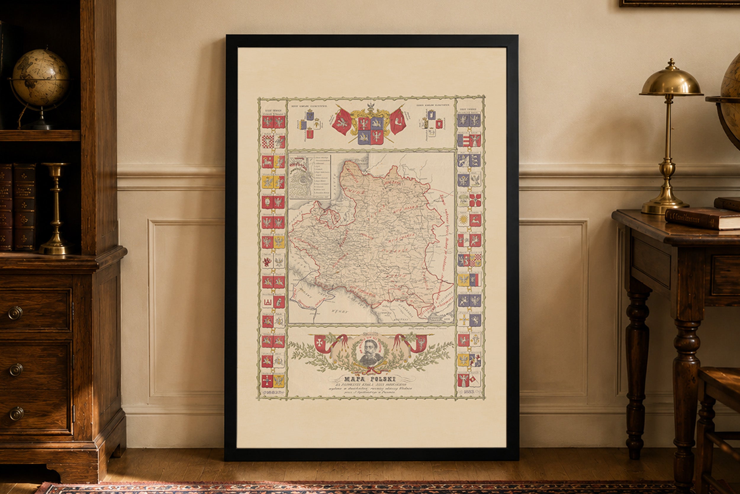
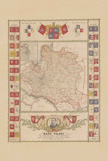
This is a reproduction print of the historical map “Jedyna polska mapa W. Ks. Poznańskiego” (The Only Polish Map of the Grand Duchy of Posen), created by Zygmunt Światopełk Słupski in 1910. Published in Poznań and printed by F. K. Ziółkowski's graphic works in Pleszew, the map provides a detailed Polish-language representation of the region during the period of Prussian rule.
The map depicts the Grand Duchy of Posen (Wielkie Księstwo Poznańskie), a historical territory encompassing much of the Greater Poland region. It documents nearly 4,000 towns and settlements, with particular attention to cities, villages with churches, post offices and Polish-owned properties, offering a remarkable picture of the region's geography and settlement patterns in the early 20th century.
Particularly distinctive are the complete railway networks and local railway lines included in the official timetable of October 1909. The map also features two inset city plans of Poznań and Bydgoszcz, providing additional detail about the region's major urban centers.
Surrounding the map are historical coats of arms of former Polish provinces and territories, accompanied by illustrations of Poznań Town Hall, Kruszwica and Gniezno Cathedral. The original colored map measured approximately 57.5 × 61.5 cm, on a sheet of 79 × 64 cm. Its detailed geographical content and decorative historical imagery make it a fascinating example of Polish cartography from the period of the partitions.