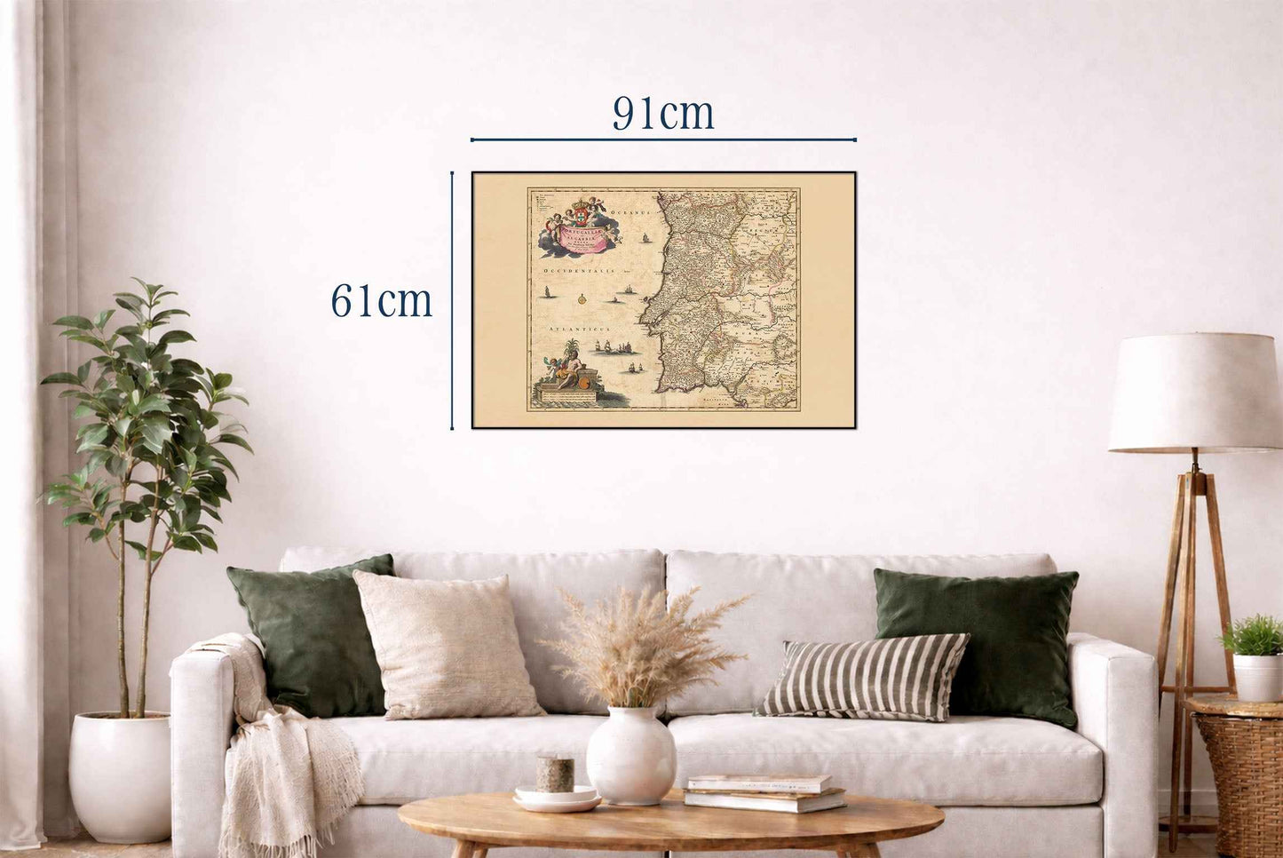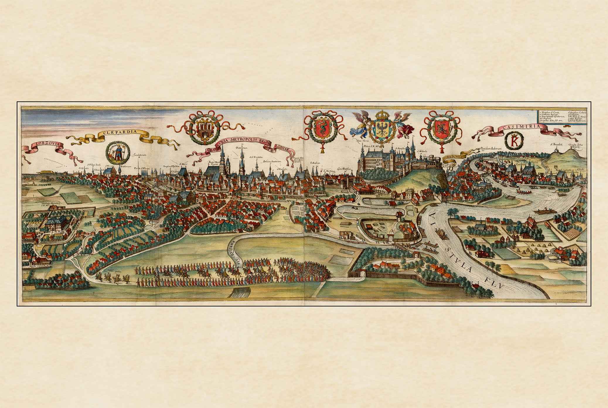


Discover the beauty of 17th-century cartography with this stunning Portugal Map Poster titled “Portugalliae et Algarbiae Regna,” created by Nicolaes Visscher around 1690. Published as part of the renowned “Atlas Minor sive Geographia Compendiosa,” this richly detailed historical map showcases the kingdoms of Portugal and the Algarve in an elegant Baroque cartographic style.
Beautifully engraved and hand-colored in outline, the map presents Portugal’s historical administrative regions with remarkable geographic precision. Mountains, forests, waterways, canals, cities, and towns are intricately illustrated, while pictorial relief shading adds visual depth to the landscape. The composition combines practical geography with decorative artistry, making it both an informative historical document and an exceptional piece of wall art.
Typical of late 17th-century Dutch cartography, the map is adorned with ornate cartouches, heraldic coats of arms, compass roses, and maritime illustrations including ships and sea creatures. These decorative elements reflect the Baroque fascination with exploration, naval power, and global trade during the Age of Discovery, when Portugal stood among Europe’s greatest maritime empires.
The detailed depiction of the Algarve and coastal regions highlights Portugal’s deep connection to seafaring culture and international commerce. Combining historical significance with timeless vintage aesthetics, this antique Portugal map poster is perfect for collectors, travelers, historians, and lovers of European heritage and classic cartography.
Ideal for offices, libraries, living rooms, studies, or interiors inspired by travel and history, this reproduction print brings the spirit of early modern Portugal into your home with elegance and historical charm.
This is a reproduction print of a historical map