


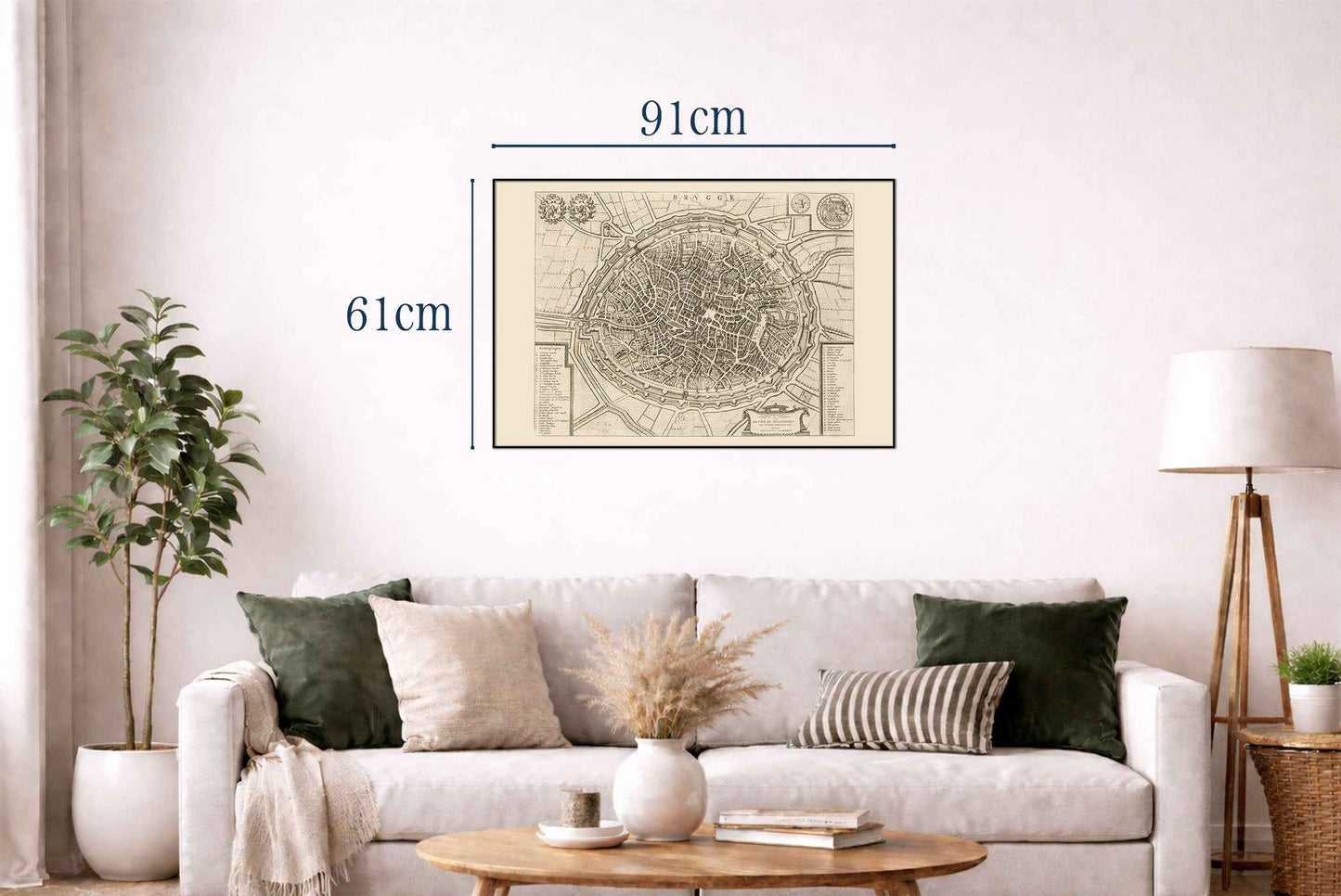
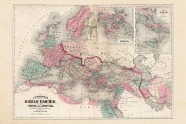
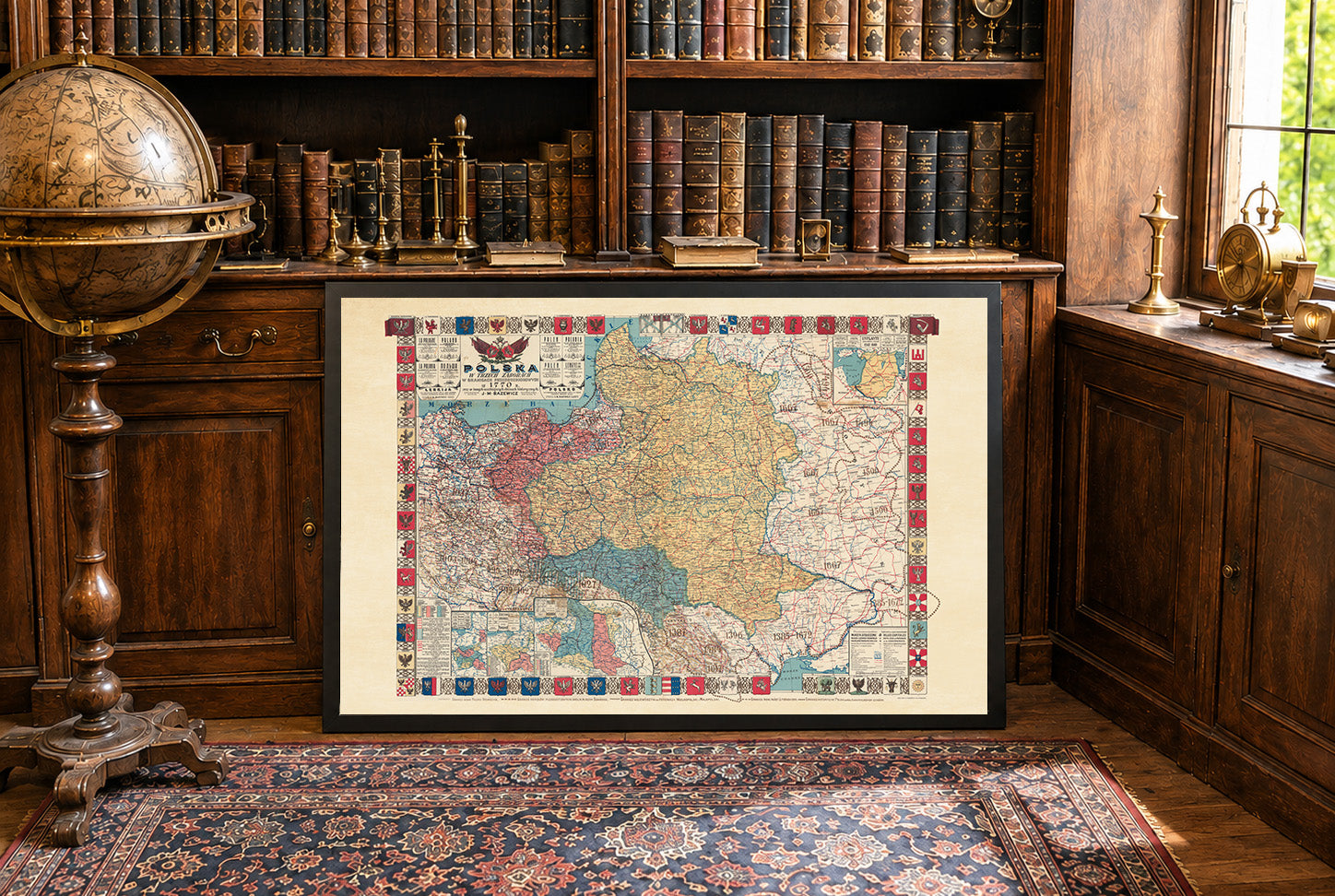
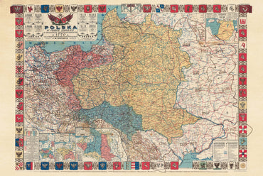
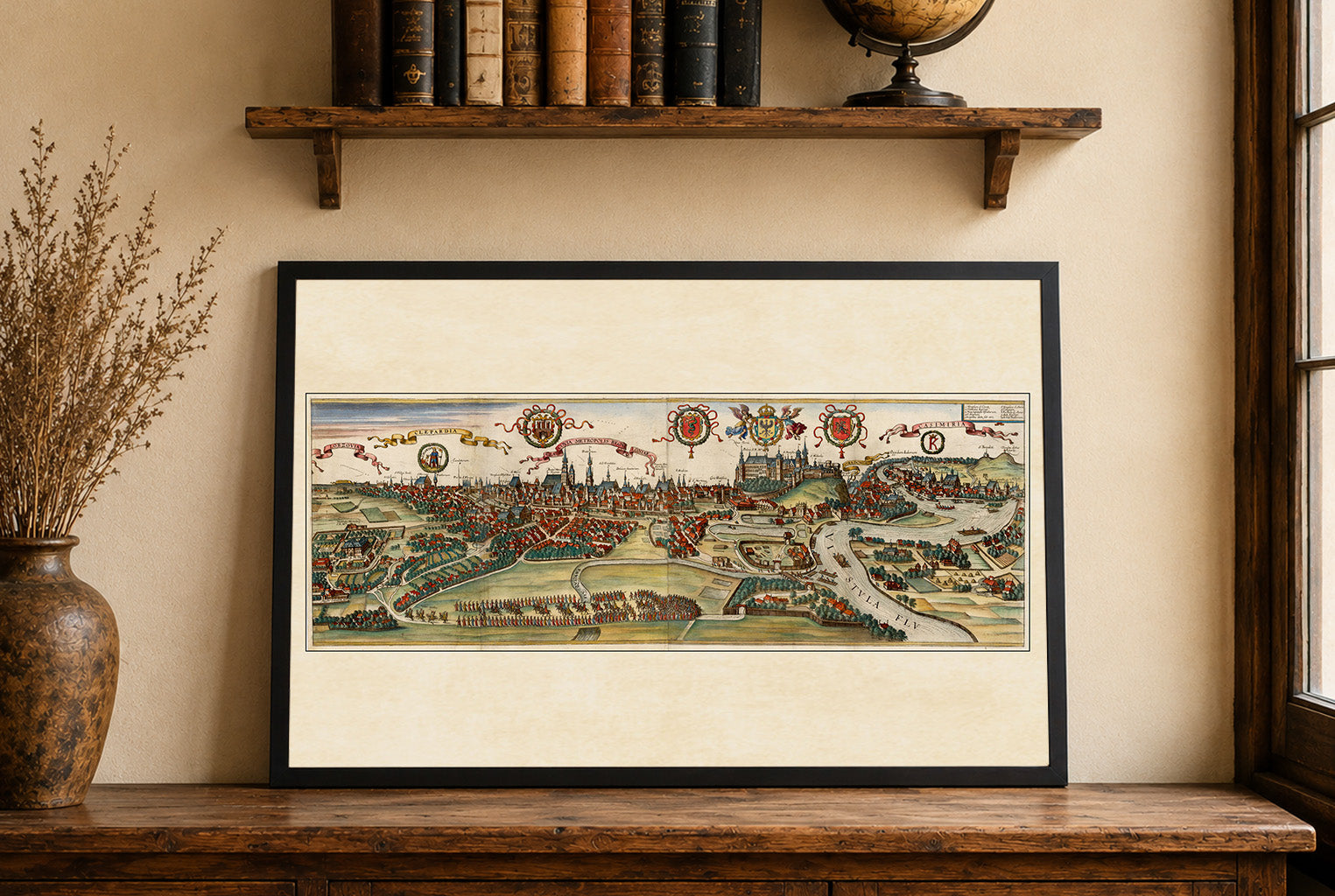
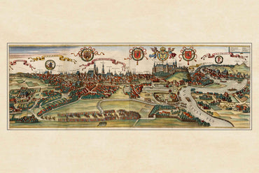
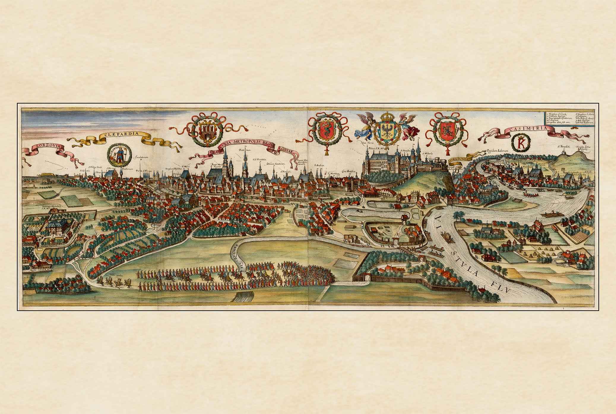
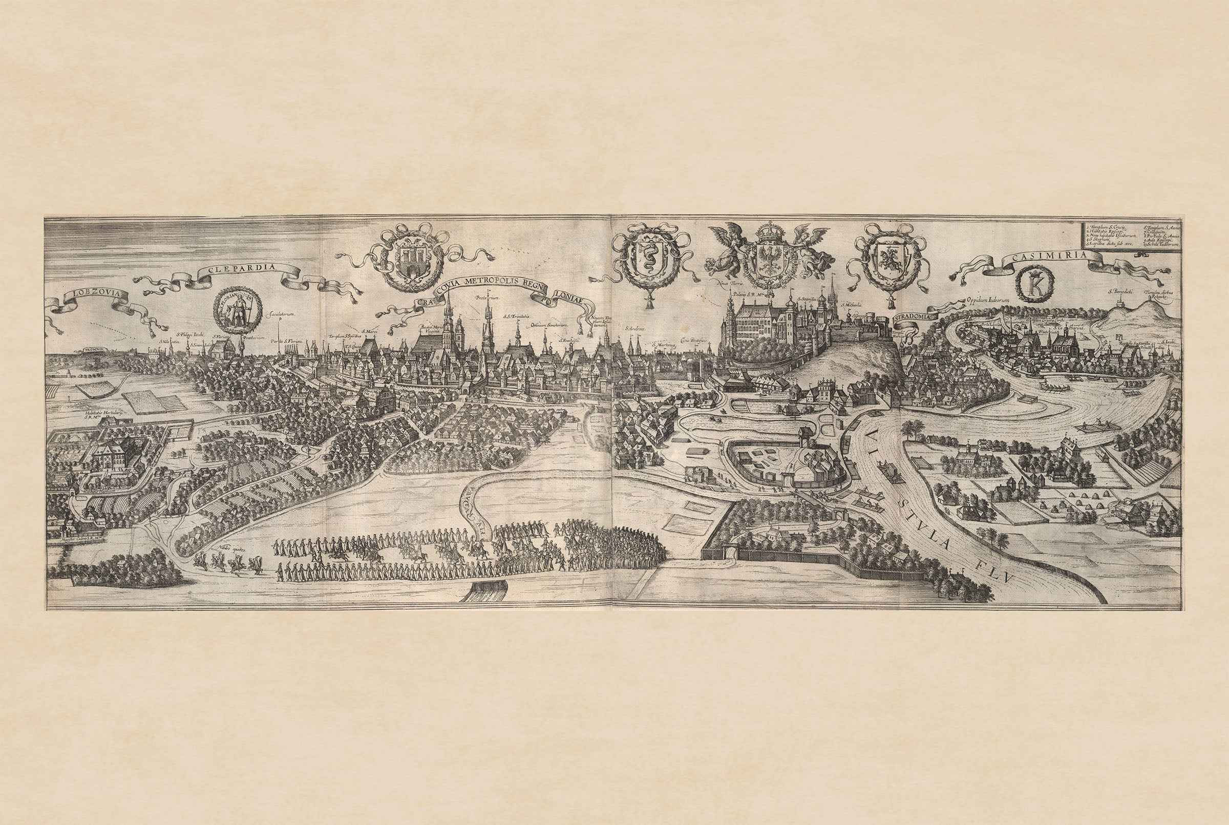
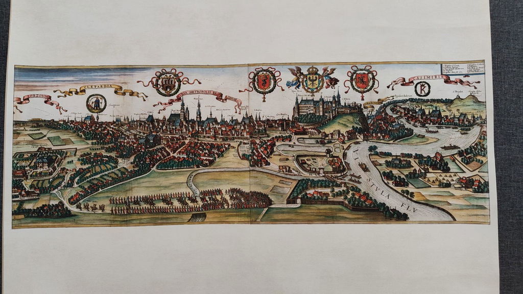
The work depicted is a detailed map of Brugge (Bruges), created by Joan Blaeu and Willem Janszoon Blaeu. This map, dated 1652, is part of a larger atlas titled "Toonneel der Steeden van s'Konings Nederlanden, met hare Beschryvingen," published by Joan Blaeu. The map is a meticulously engraved representation of Brugge, showcasing the city in a bird’s-eye view. It is part of an atlas that combines cartographic precision with artistic embellishments, characteristic of the Dutch Golden Age of cartography. The medium is likely an engraved print, common for maps of this era due to the level of detail achievable through engraving


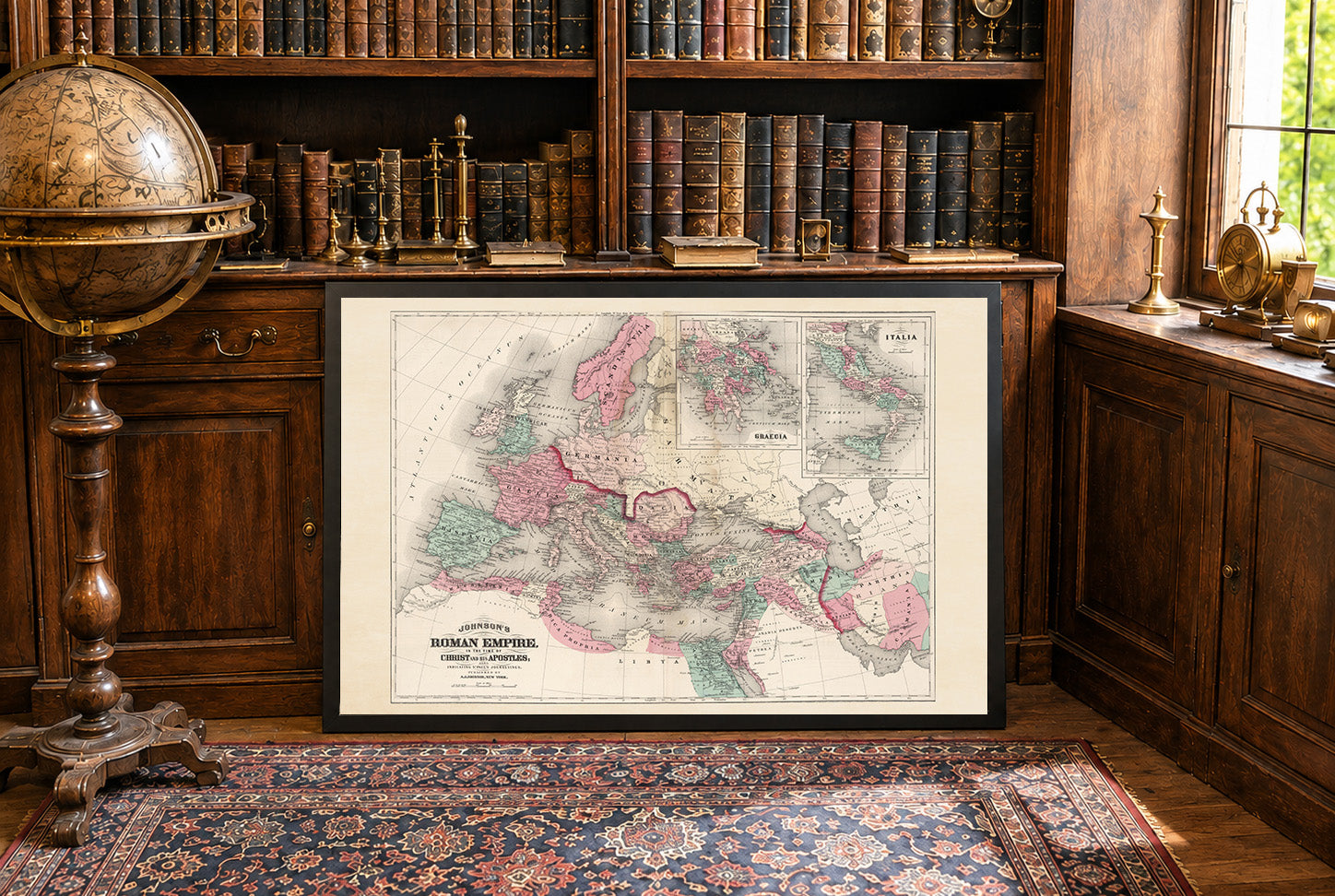
Incredible result, i would like to point out that during shipping the frame got damaged and we got a new one fast in perfect condition.
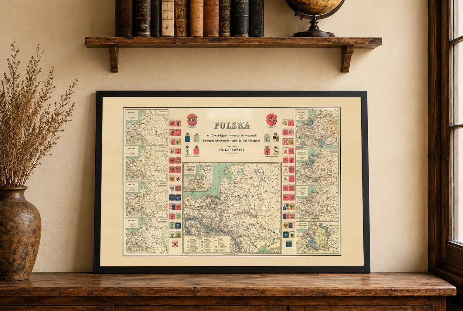
Skuszony poleceniem Zlewikka skorzystałem z oferty. Cały zakup przebiegł profesjonalnie od wysyłki, zabezpieczenia do jakości i wykonania mapy. Polecam!
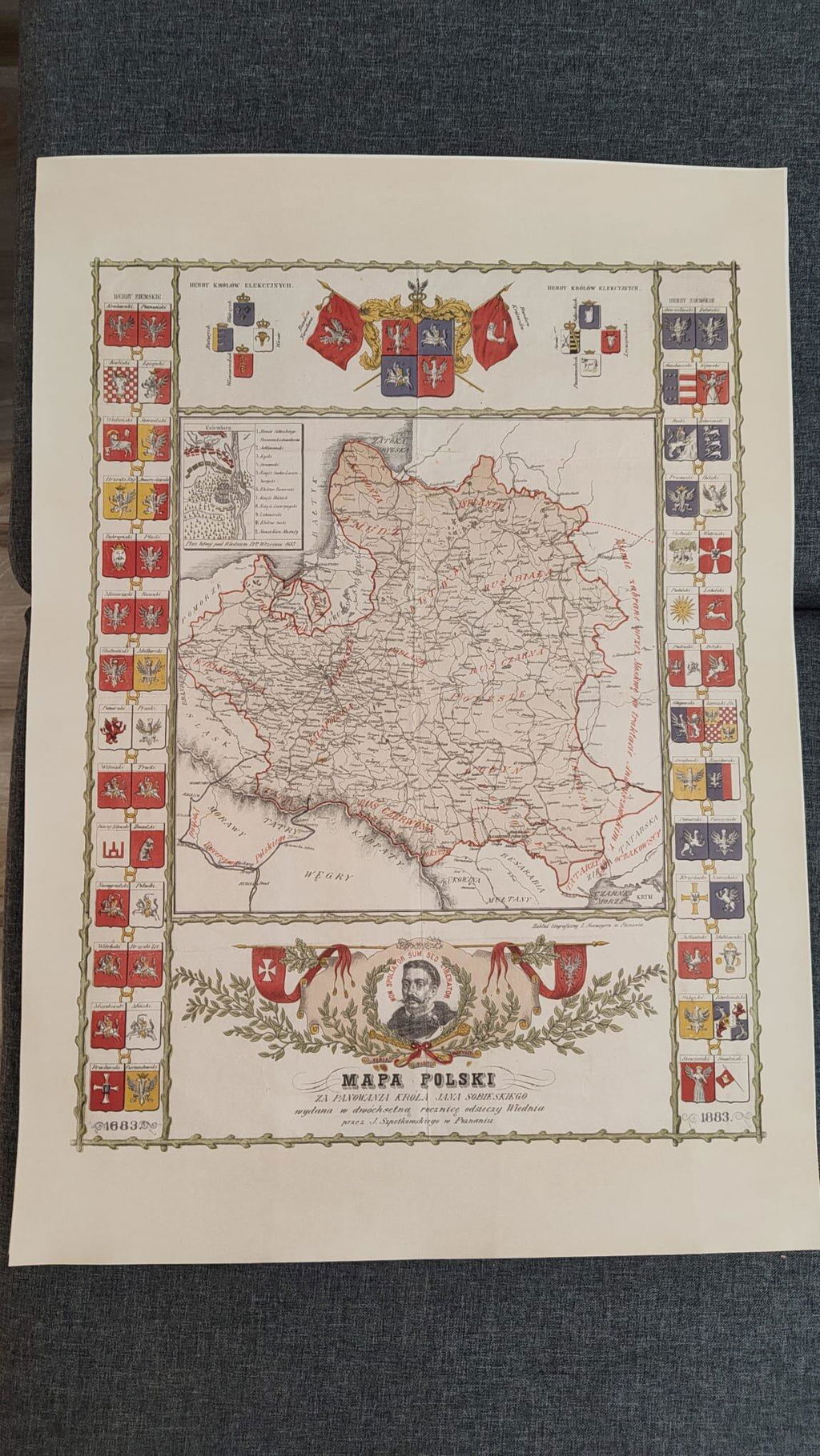
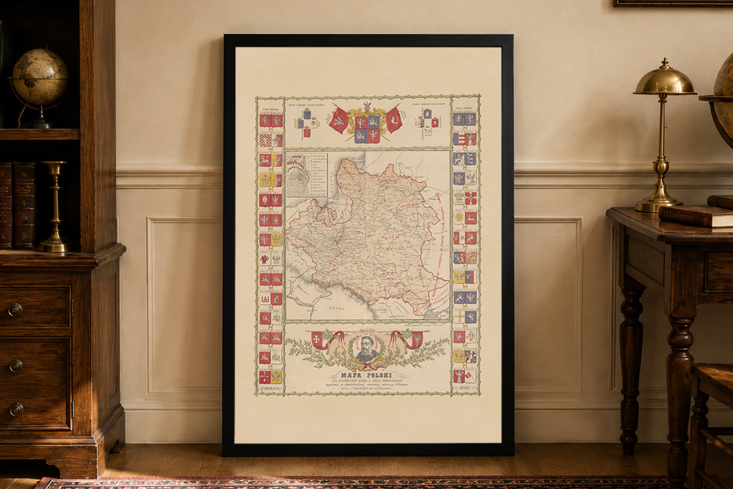
Mapa mojego ukochanego miasta wygląda bardzo dobrze. Wysłane szybko, zabezpieczone profesjonalnie - polecam każdemu kto się zastanawia nad zakupem!
Excellent quality product along with great customer support
Great quality print, only when I got it i had correct the frame it was not put in properly, otherwise great.