




Obraz przedstawia "Bruxellę", mapę Brukseli, autorstwa Joana Blaeu i Willema Janszoona Blaeu, wydaną w 1652 roku. Dzieło to jest częścią atlasu miejskiego Blaeua z połowy XVII wieku, zatytułowanego "Toonneel der Steeden van s'Konings Nederlanden, met hare Beschryvingen". Kompozycja i medium: Mapa jest grawerowaną ilustracją, typową dla tego okresu, charakteryzującą się drobiazgowością i precyzją. Kunszt wykonania odzwierciedla wysokie standardy sztuki kartograficznej w holenderskim Złotym Wieku, podkreślając zarówno funkcjonalność, jak i walory estetyczne.


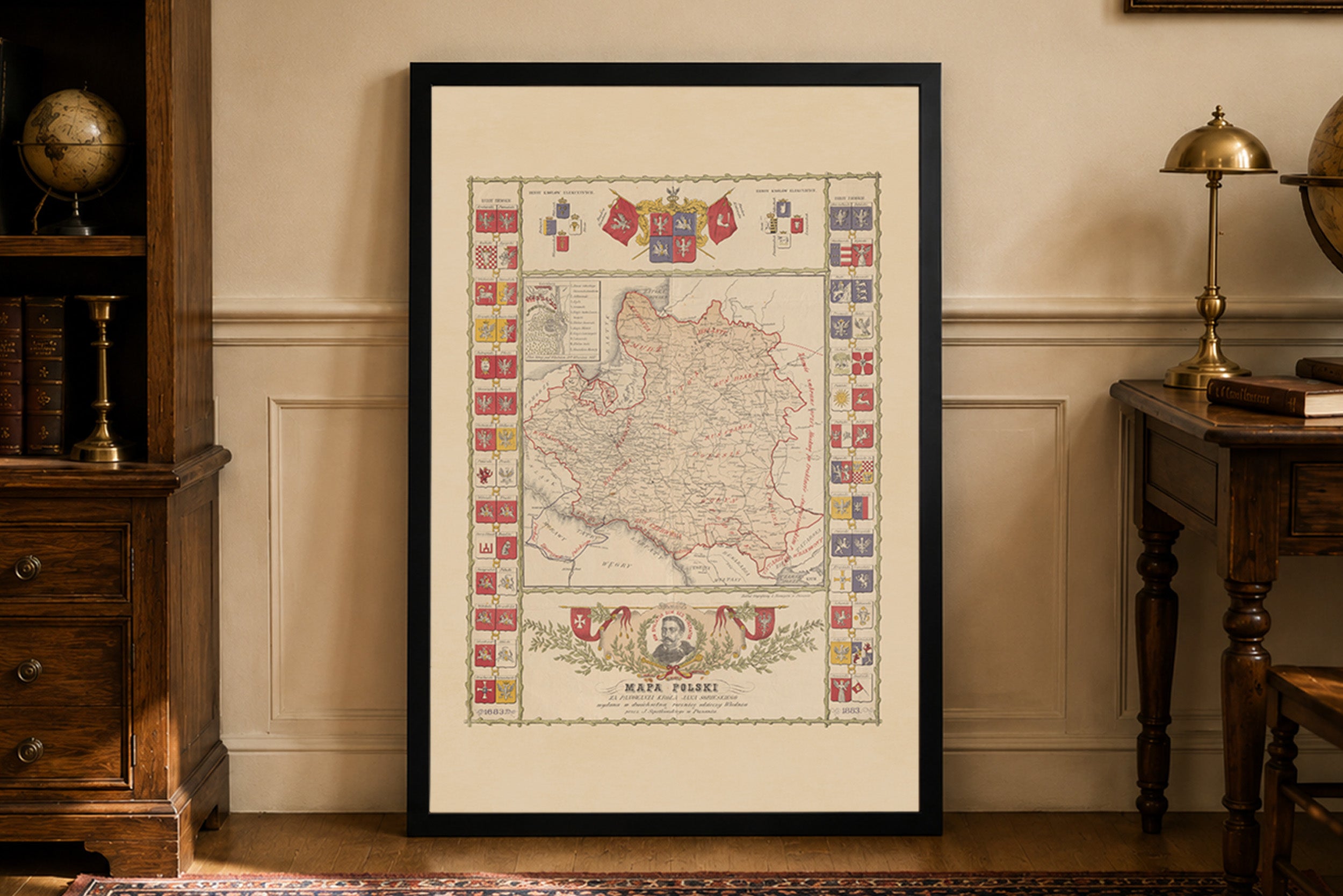
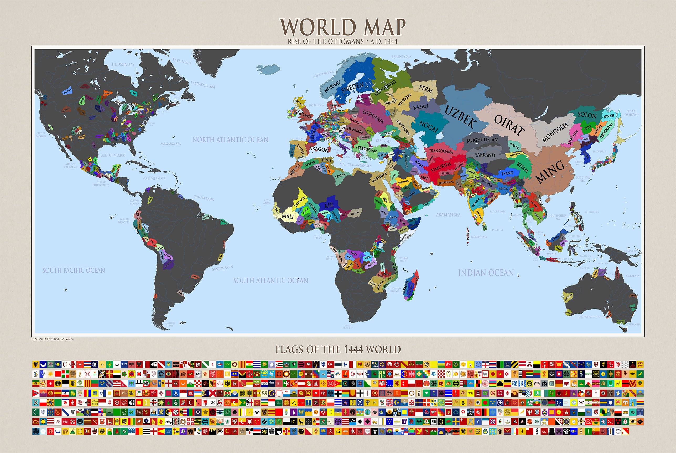
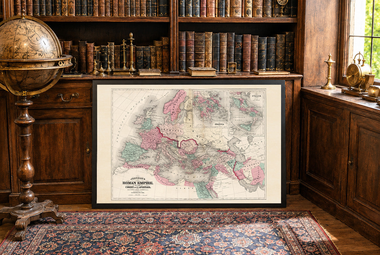


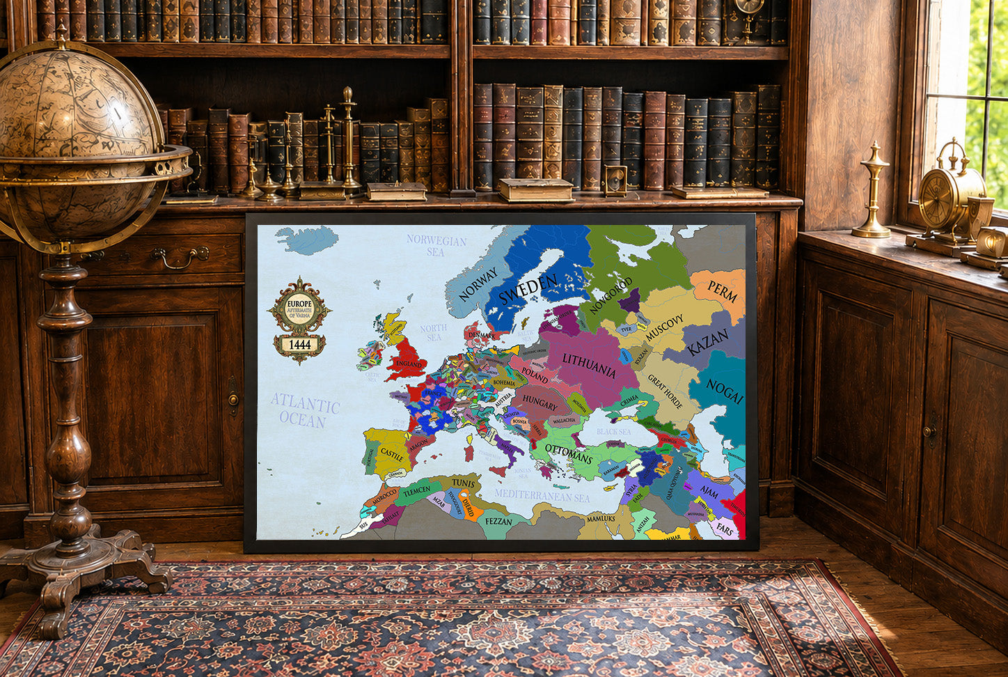
Super produkt i szybka obsługa. Zlewikk zgodził się na drobne poprawki i personalizacje mapy za co serdeczne podziękowania. Polecam z całego serca.
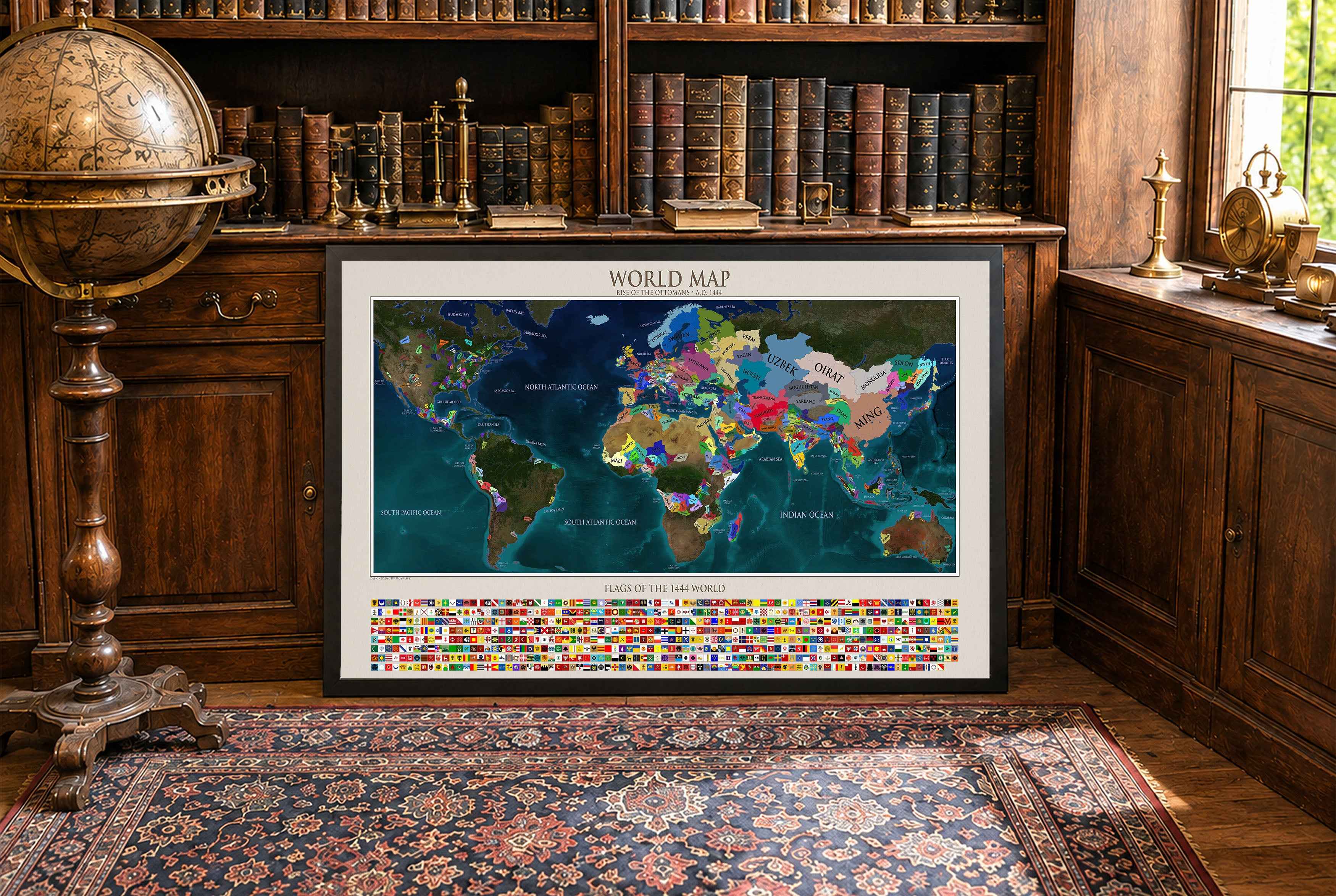
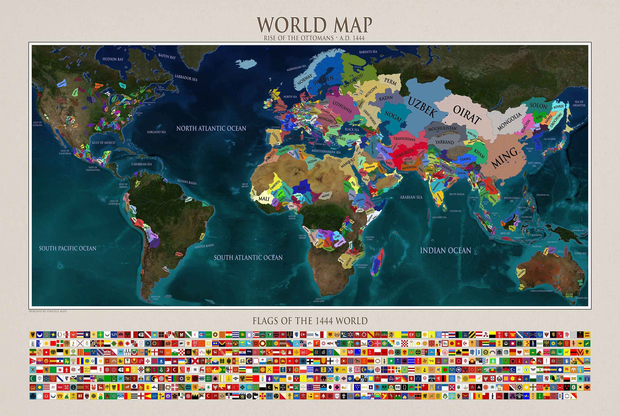
Maps came in a very well cushioned package with no damage occurring during transit. The color on the maps is nicely saturated and the maps look great on the wall.
Great quality, great packaging, great delivery! Highly recommend all maps!
Great material and colour saturation and means I can choose a country to play before turning on my PC :P
Map arrived in perfect condition and quality for reading cities, rivers, mountains and regions. Incredibly helpful in sourcing the map I wanted and adding it to the store.